| Flag |
Division |
Surface,
ths. sq. km |
Population,
ths., 1999 |
Capital |
 |
Alsace |
8.3 | 1 734 |
Strasbourg |
 |
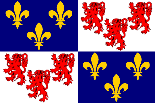
Aquitania
Aquitaine |
41.4 | 2 908 |
Bordeaux |
 |
Auvergne |
26.0 | 1 309 |
Clermont-Ferrand |
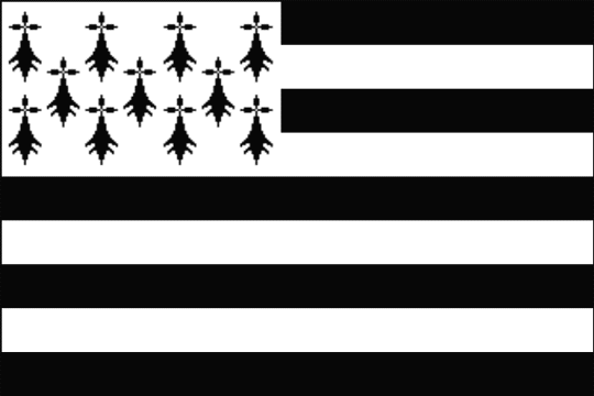 |
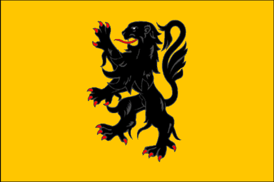
Brittany
Bretagne
Breizh |
27.2 | 2 906 |
Rennes
Roazhon |
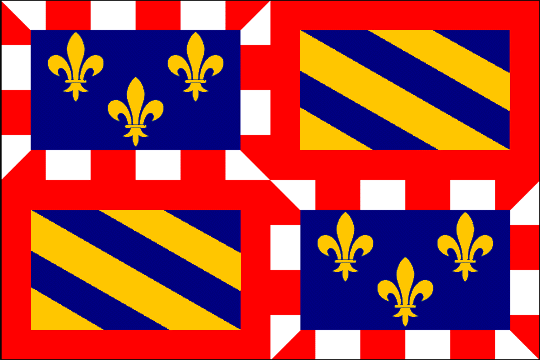 |
Burgundy
Bourgogne |
31.6 | 1 610 |
Dijon |
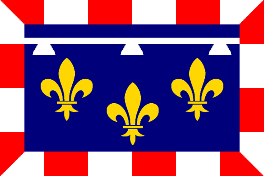 |
Center
Centre |
39.1 | 2 440 |
Orléans |
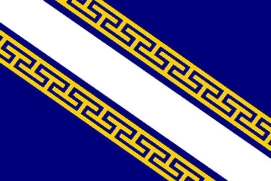 |
Champagne and Ardennes
Champagne – Ardenne |
25.6 | 1 342 |
Châlons-sur-Marne |
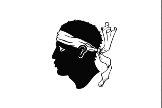 |
Corsica
Corse
Corsica |
8.7 | 260 |
Ajaccio
Aiacciu |
 |
Free County
Franche-Comté |
16.2 | 1 117 |
Besançon |
 |
Ile-de-France
Île-de-France |
12.0 | 10 952 |
Paris |
 |
Languedoc and Roussillon
Languedoc – Roussillon
Llenguadoc – Rosselló |
27.5 | 2 296 |
Montpellier
Montpelhièr |
 |
Limousin |
16.9 | 711 |
Limoges |
 |
Loire Lands
Pays-de-la-Loire |
32.1 | 3 222 |
Nantes |
 |
Lorraine |
23.5 | 2 311 |
Metz |
 |
Lower Normandy
Basse-Normandie |
17.6 | 1 422 |
Caen |
 |
North and Pas-de-Calais
Nord – Pas-de-Calais |
12.4 | 3 997 |
Lille |
 |
Picardy
Picardie |
19.4 | 1 858 |
Amiens |
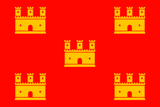 |
Poitou and Charentes
Poitou – Charentes |
25.8 | 1 640 |
Poitiers |
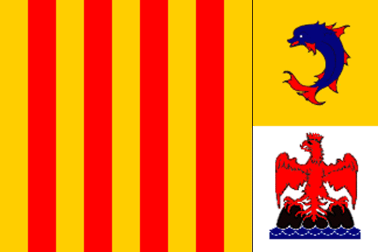 |
Provence, the Alps and Azure Coast
Provence – Alpes – Côte-d'Azour |
31.4 | 4 506 |
Marseille |
 |
Rhone and the Alps
Rhône – Alpes |
43.7 | 5 645 |
Lyon |
 |
South and the Pyrenees
Midi – Pyrenées |
45.4 | 2 552 |
Toulouse |
 |
Upper Normandy
Haute-Normandie |
12.3 | 1 780 |
Руан
Rouen |